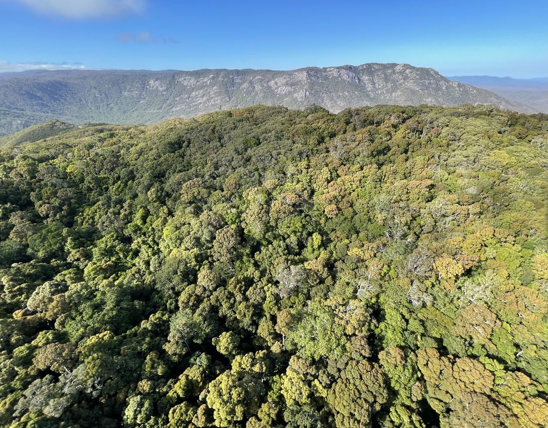
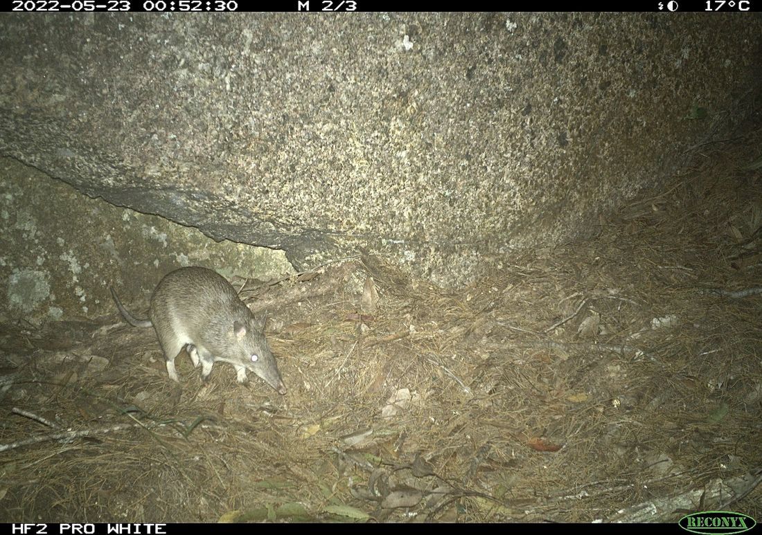
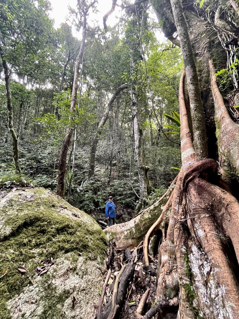
Mt GibsonMt Gibson is a spectacular 34,500 hectare property located approximately 50km west of Cape Tribulation and the North Daintree coast. The property sits of the boundary of the Wet Tropics and Einasleigh Uplands Bioregions. It also spans an extreme altitudinal range 1230m above sea level down to 180m above sea level and covers the whole of the upper catchment of the West Normanby River. As a consequence of these factors the reserve has an extraordinary diversity of fauna and flora. In all Mt Gibson protects 29 regional ecosystems of which 17 are either endangered or of concern. Four of these regional ecosystems have little or no representation in other protected areas in the state. These regional ecosystems range from high altitude tropical rainforest, through towering wet sclerophyll forest to dwarf scrublands on steep exposed granite slopes. Along the eastern margin of Mt Gibson there is a series of poorly explored and extremely isolated high granite peaks and plateau. These are often shrouded in cloud and protect some wonderful areas of rainforest. With no road access they have never been logged. They include the Lost World, a very high plateau topped by tropical rainforest, and Mt Amy with its tall palm forests and diverse array of wet forest types in what is otherwise a relatively dry savanna environment. The fauna of Mt Gibson has never previously been surveyed and we are still in the early stages of discovering what is there. Recent finds in the northern section of the reserve have included the endangered Northern Quoll, the threatened Black-footed Tree-rat and a previously totally unknown colony of endangered Ghost Bats. The southern section of Mt Gibson rises up on to the northwestern corner of the Windsor Tableland. The relatively cool moist tropical forests of the Windsor Tableland harbour the northern most occurrences of the endangered Yellow-bellied Glider, Greater Glider and Spotted-tail Quoll. These forests were previously also occupied by the endangered Northern Bettong.
|


